Online Phenology Models and Degree-day Calculator
info Sellards Rd @ SR 221 WA  station: TSELL WA_DOT elev: 1079 ft  lat/long: 46.1314 -119.6017
  Select location by clicking on pin in Google Map above
 sweet corn-Jubilee DS
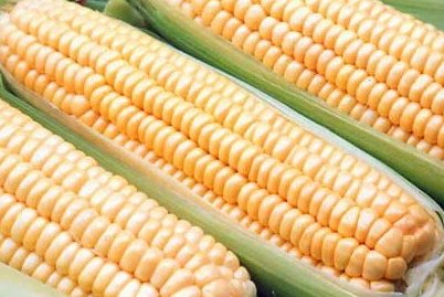
 [Jubilee-direct seeded]

Coop et al 1993, Andrews et al. 2019
adult
  info Model category: 

  Select model: (see list)   (model params) 

  Output in:

  Start:
  Starting date instructions: date of planting

  End:  
  Model validation status: partly validated Region(s): Pacific Northwest

  info Forecast type: 

Model
preview:


future
events
Weather data QA score 1.00; 0 days missing
Date DDs Event
 Mar 20 44 days ago 104 First emergence from soil
 Apr 23 10 days ago 308 5 leaf stage
 May 12 9 days away 445 7 leaf stage
 Jun 13 41 days away 883 5 inch tassels
 Jun 19 47 days away 960 10 inch tassels


  info  Output:  Simple header  No table  Graph precip 


[Home] [user survey] [Intro] [US State/Network Index] [DD Map Calculator] [Links]
Oregon IPM Center at Oregon State University IPM PIPE The PRISM Group at OSU Western
Region Pest Management Center National Institute of
Food and Agriculture
All data provided "as is" and users assume all risk in its use - see full disclaimer. All NWS derived data is not subject to copyright protection. This site hosted by the Integrated Plant Protection Center at Oregon State University with support from the USDA National Plant Diagnostic Network, The OSU Agricultural Experiment Station, various USDA CSREES/NIFA grants, USDA SARE, USDA RMA, and USDA IPM Centers - Western Region. Climate map data provided by OSU PRISM Group, real-time public weather data provided by U. Utah Mesowest and other networks including WSU AgWeatherNET, AGRIMET, CPS Adcon Networks, IFPNet Automata, California CIMIS, California PestCast, and others.
Previous versions online since May 16, 1997, this version 5.6, updated Jan 3, 2024
Contact Len Coop at coopl@science.oregonstate.edu if you have any questions about this program.